- 1ESO BILINGUAL: You must hand in this activity next Thursday, 22nd of October.
- 1ESO BRITISH: You must hand in this activity next Thursday, 22nd of October.
Remember that you must hand in your map ON time.
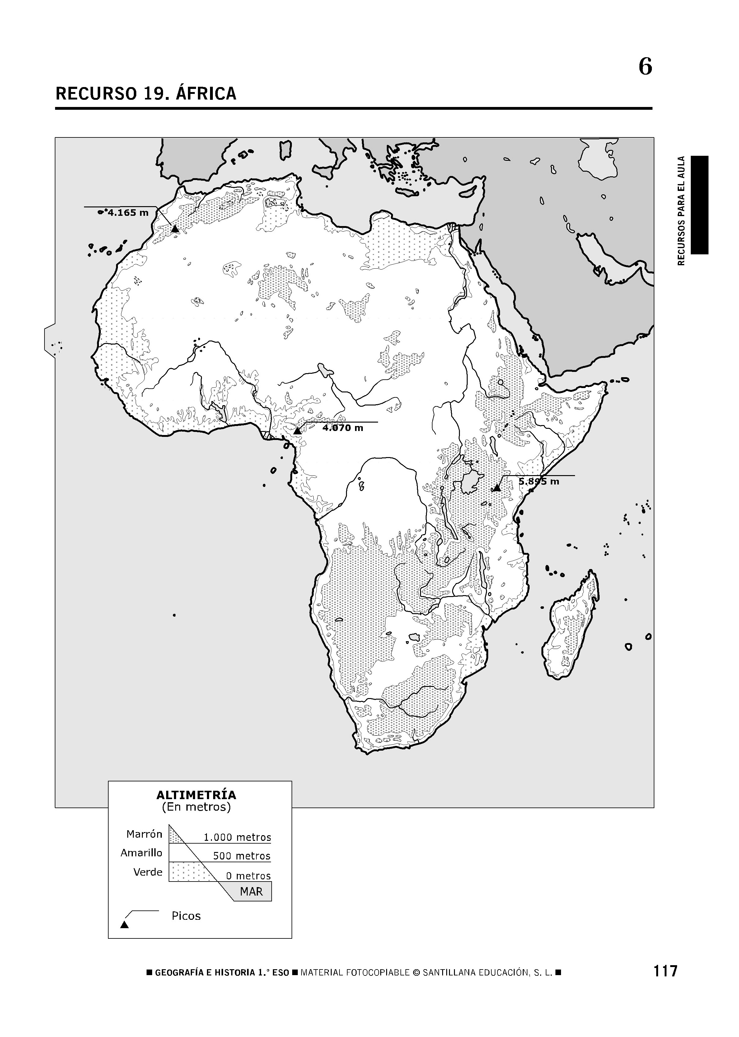
MOUNTAINS AND MASSIVES (Numbers in BLACK)
- Atlas
- Ahaggar Massif
- Tibesti Massif
- Ethiopian Massif
- Rift Valley
- Dakensberg Mountains
PEAKS (Numbers in RED)
- Toubkal
- Cameroon
- Stanley
- Kenya
- Kilimanjaro
PLAINS (Numbers in GREEN)
- Darfur Planeau
- Ubangui Planeau
- Katanga Planeau
BASINS (Numbers in BROWN)
- Niger Basin
- Chad Basin
- Congo Basin
PENINSULAS (Numbers in BLUE)
- Cirenaica Peninsula
- Somaili Peninsula
DESERTS (Numbers in PINK)
- Sahara
- Libian Desert
- Nubian Desert
- Namib Desert
- Kalahari Desert
CAPES AND GULFS (Numbers in PURPLE)
- Cape Blanco
- Gulf of Guinea
- Cape of Good Hope
- Cape Agujas
- Gulf of Aden
- Gulf of Gabès
ISLES (Numbers in Orange)
- Madeira Islands
- Cape Verde Islands
- Saint Helena Island
- Madagascar
- Reunion Island
- Maurihius Island
- Comoros Islands
- Seychelles Islands
Comentarios
Publicar un comentario
Gracias por tu comentario.